This was going to be my last chance at doing a proper long mountain bike ride as part of my HT550 preparation, so I booked my self a one way ticket to Aviemore for the May Day bank holiday and hurriedly got the bike ready late on Sunday evening after the kids finally went to sleep. The plan was ride back to Aberdeen offroad as much as possible, with the added interest of trying a new route from Abernethy across to Glen Avon, which doesn’t follow the now traditional outer Cairngorm Loop route through Tomintoul.
My aim was to head out past Dorback Lodge, but instead of taking the left at the first crossing of the Burn of Brown, I was going to keep right and do a lot of climbing onto the moors to the South and see if an old ford across the Water of Ailnack was an option. First though, I had to get there – so after my usual late night fiddling and packing I was up early to catch the 0614 train to Inverness. An uneventful journey saw me ready to go from Aviemore at 1000, after some fiddling with my newly rented SPOT tracker, which I wanted to get accustomed to well in advance of the HT550. I slipped under the railway and onto the Speyside Way to take me away towards Nethy Bridge.
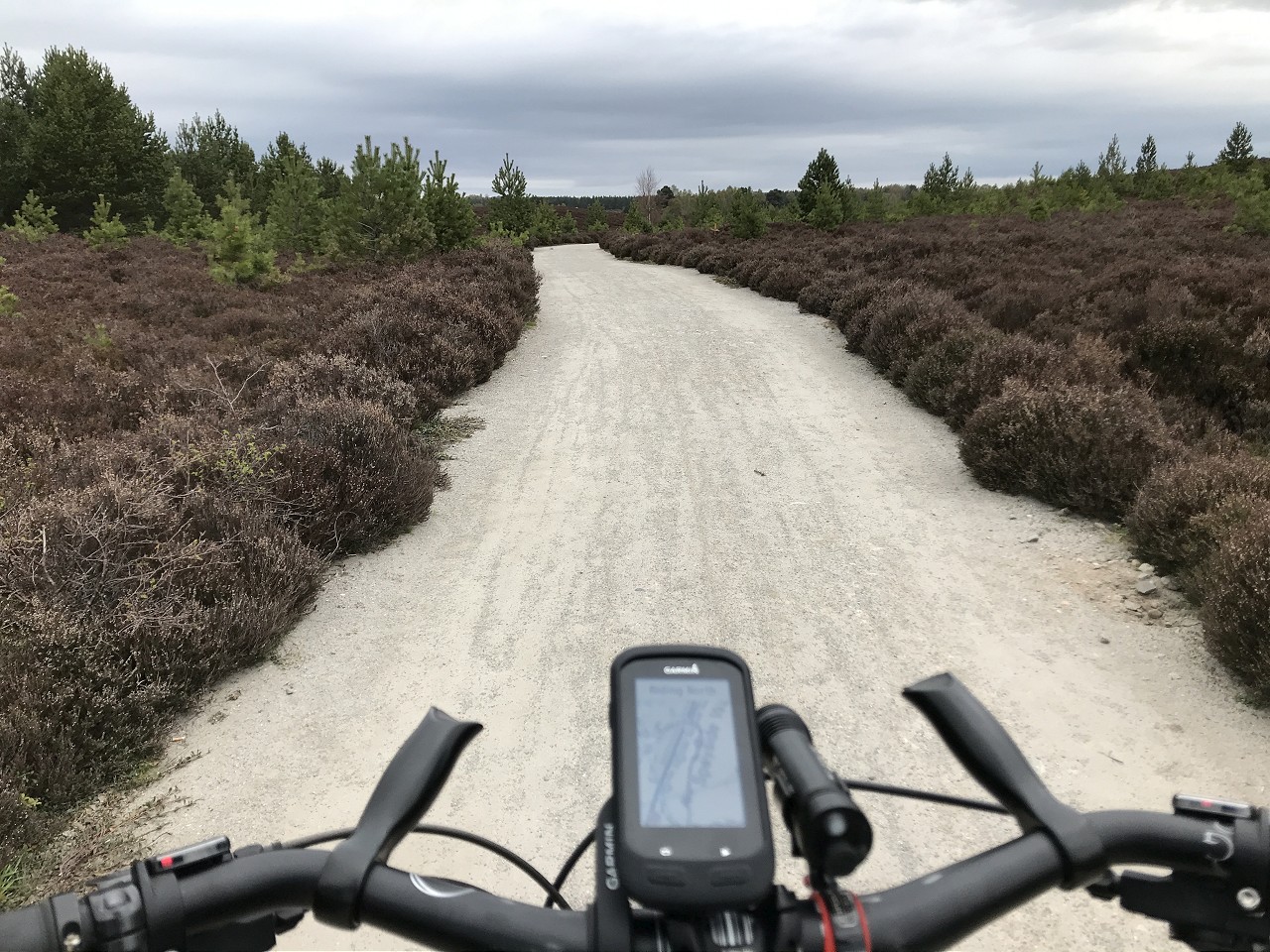
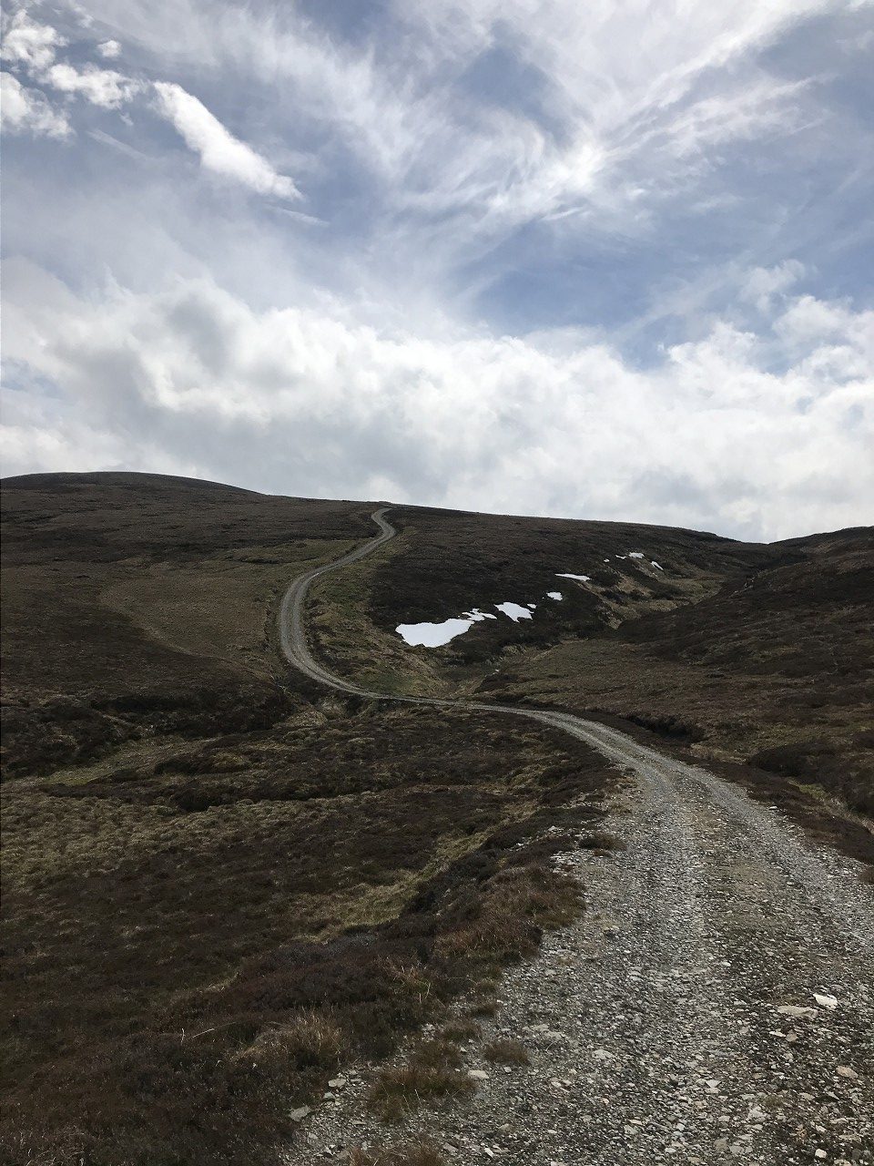
The smooth tracks made for speedy progress, interspersed with some bottom bracket fiddling, as the new bearings I had only fitted last week had decided to set the bike off creaking. No coincidence that this is my only bike that doesn’t have a threaded BB shell!
As I approached Nethy Bridge, the clouds seemed to be gathering in an ominous fashion. Optimistically, I had chosen to believe the Met Office forecast of a cloudy morning, improving later and had opted for minimal waterproof gear, i.e. none! A few drops of impending precipitation hit me as I whizzed along the singletrack before the village.
The heavens opened as I rolled towards the shop, so I went in and got myself a ginger beer and some extra snacks for the ride and sat in a dry spot near the bus shelter cursing my luck whilst I got my jacket and gloves out. With a long way to go, I couldn’t afford to wait it out, so on I went along the river, then up the road towards the Dorback Lodge turn off. I’d skipped the Eag Mhor today to save time and wet feet and luckily the rain eased as I approached the lodge.
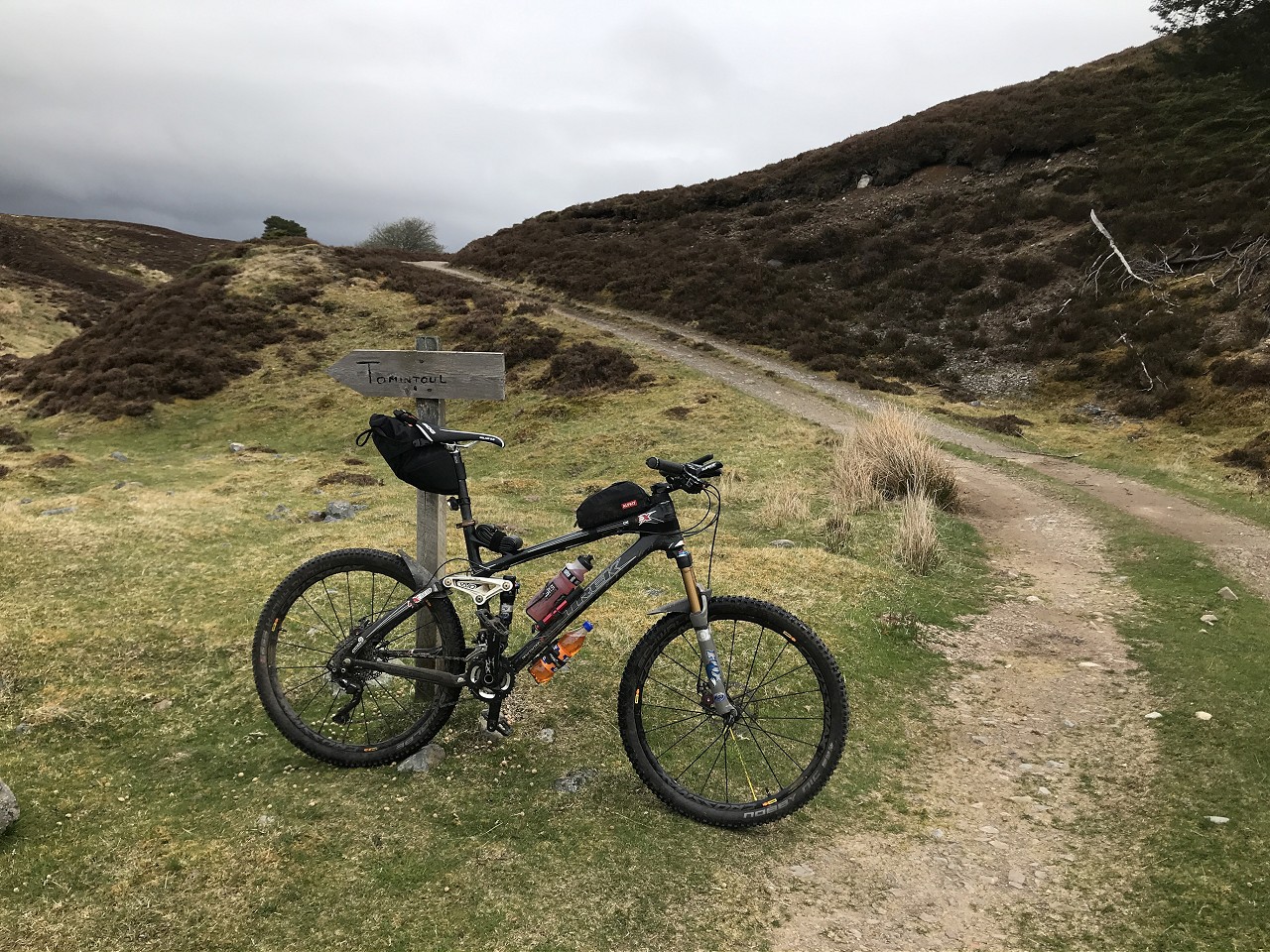
The climb after the lodge went by quite easy, especially compared to last time during the Cairngorms Loop, when I wasn’t feeling quite so sprightly! After a quick hello to a couple of other cyclists on the climb, I dropped down quickly to the first ford at the Burn of Brown and prepared to ignore the suggested route to Tomintoul.
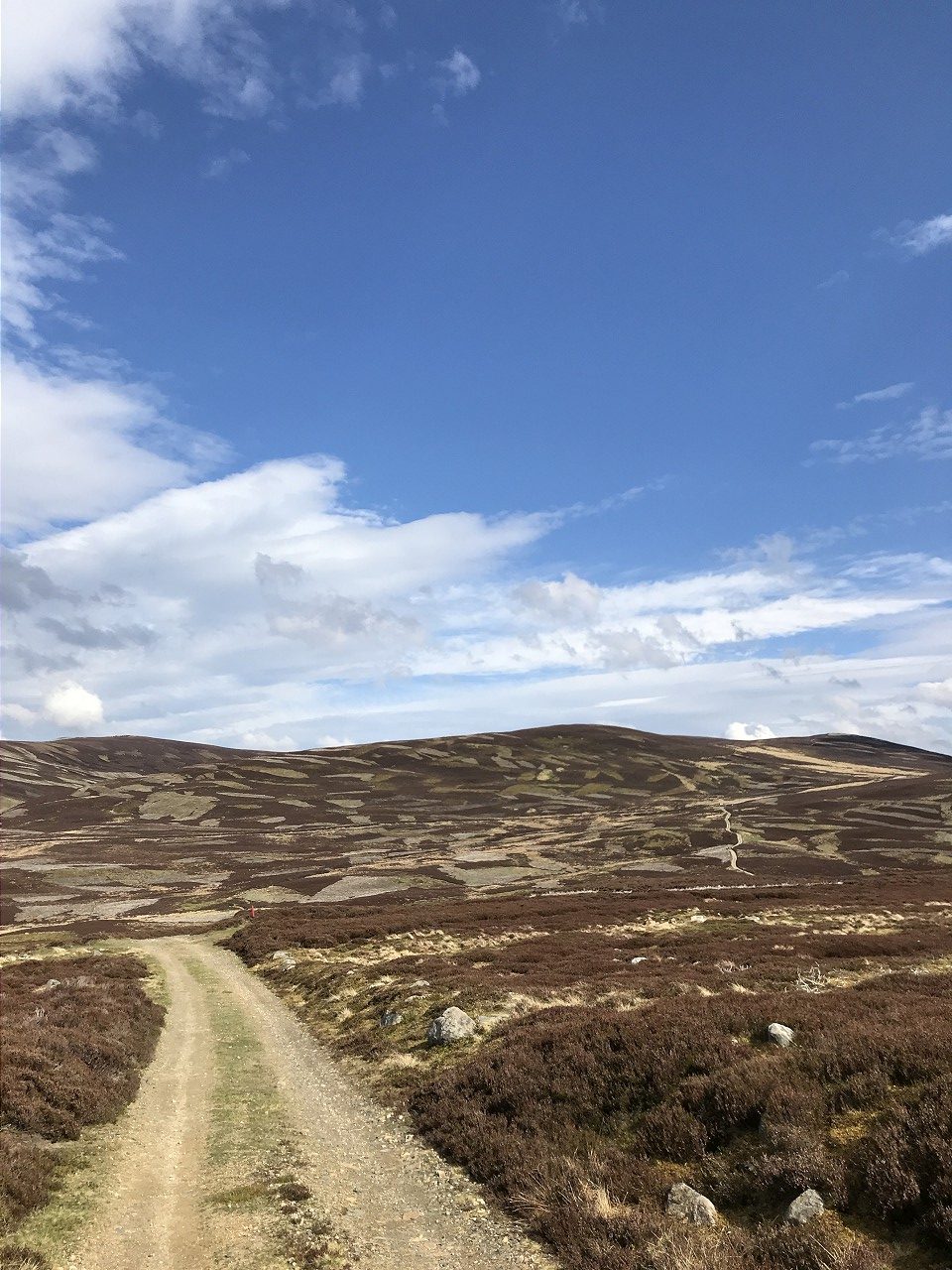
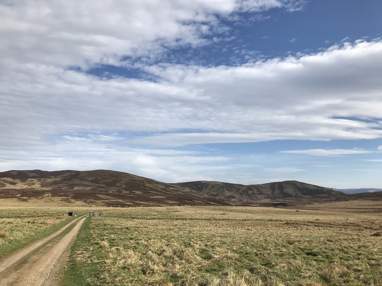
A long climb ensued up the flanks of Carn Tuadhan, though luckily never too steep.
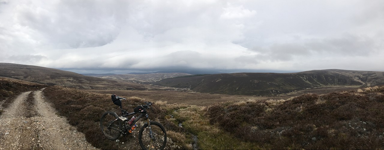
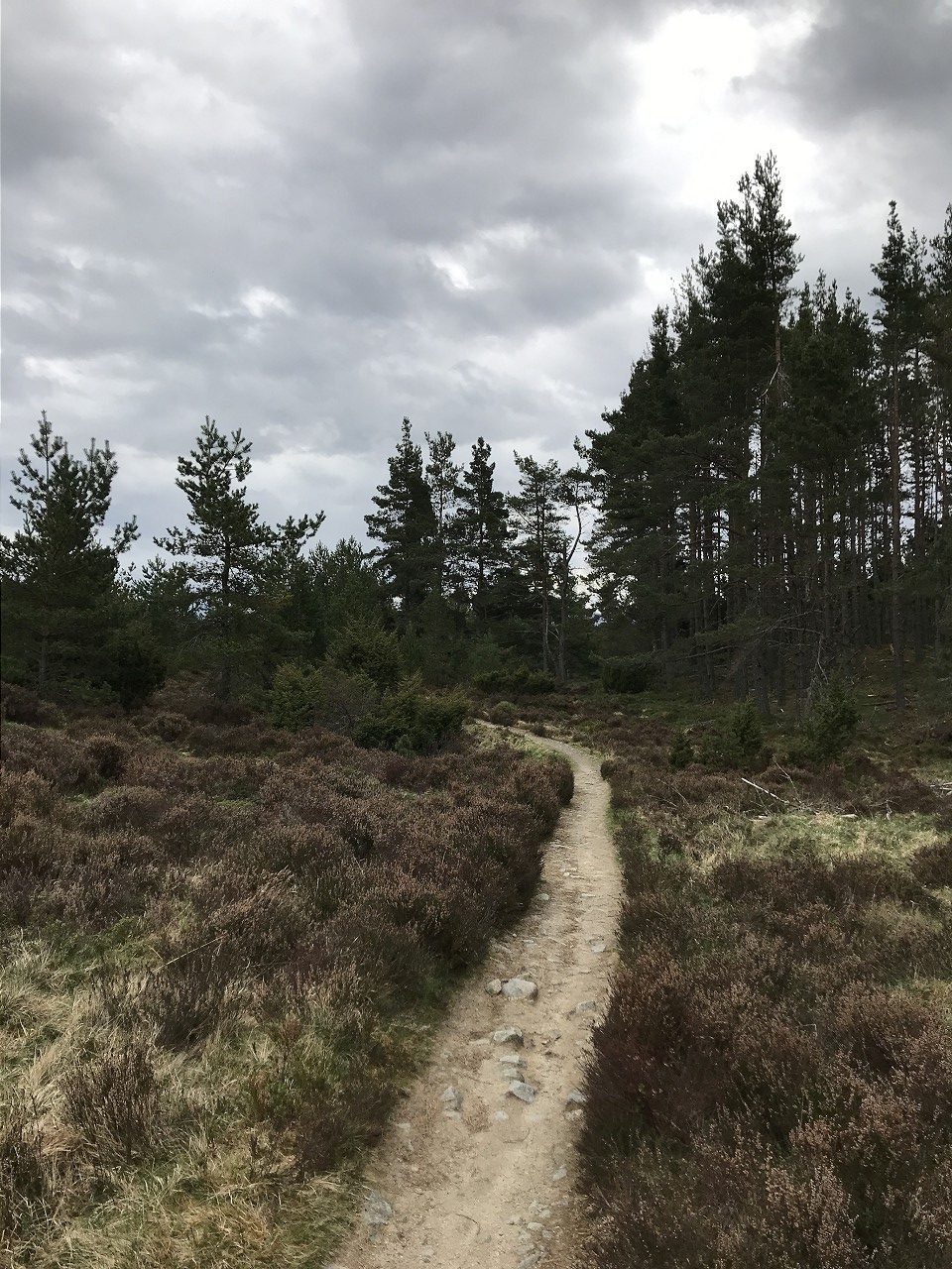
I knew eventually the good track would peter out and I would have to see what was on the ground to get me to Ca Du Ford. So it did and I started my heather bashing, contouring round the hill without losing too much height, so I would be able to sight the crossing and pick the best route. I’d plotted a way across where the contours looked least steep, but knew that up close things could be quite different!
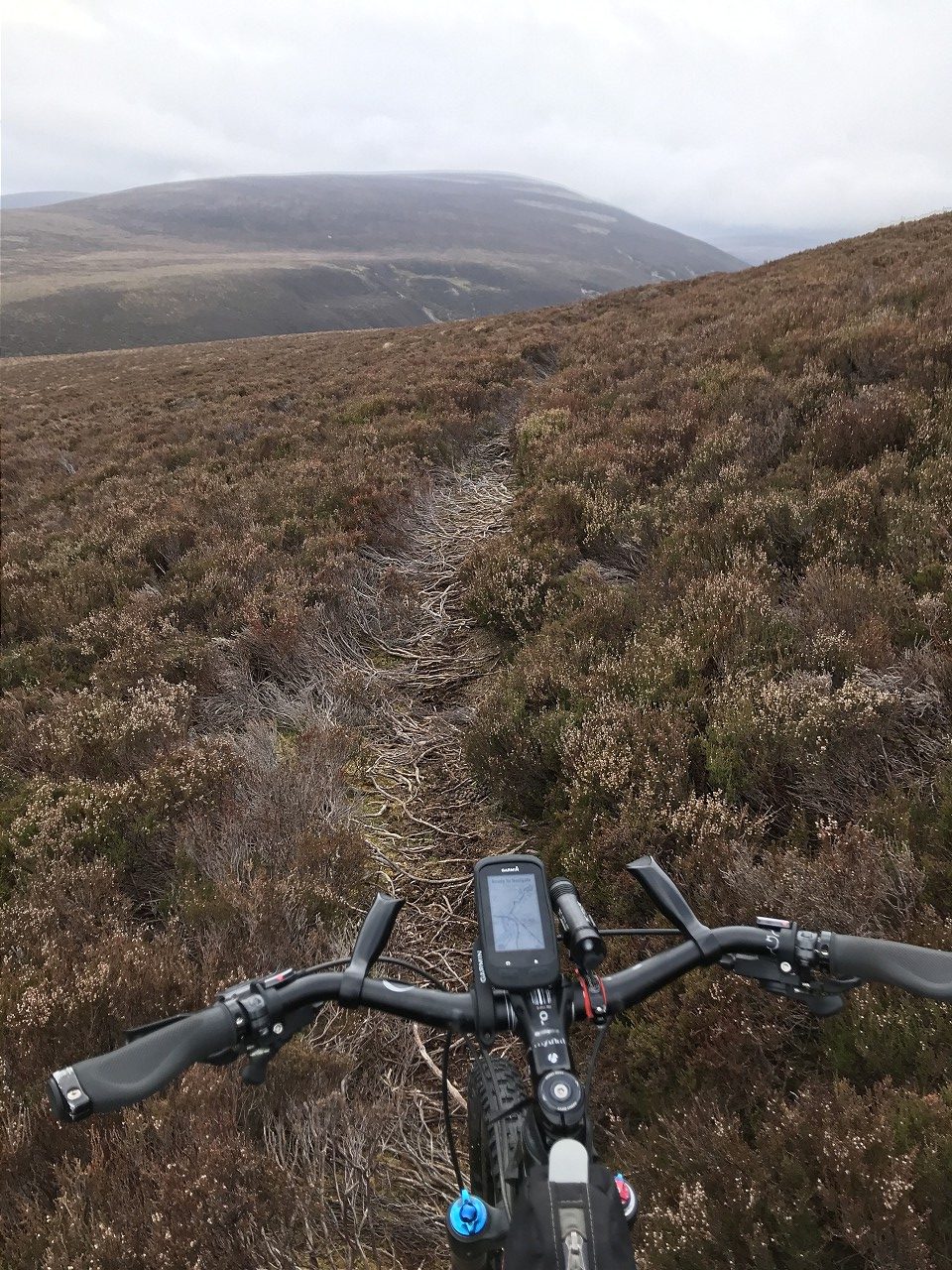
Once I was in the right ball park, I took a straight line down the hill and started some foot reconnaissance for a route down once it got too steep. Various deer trails criss-crossed the edge, so I found a way down without too much trouble and was also able to spot a good exit point on the far side, a fair bit upstream from my original guess.
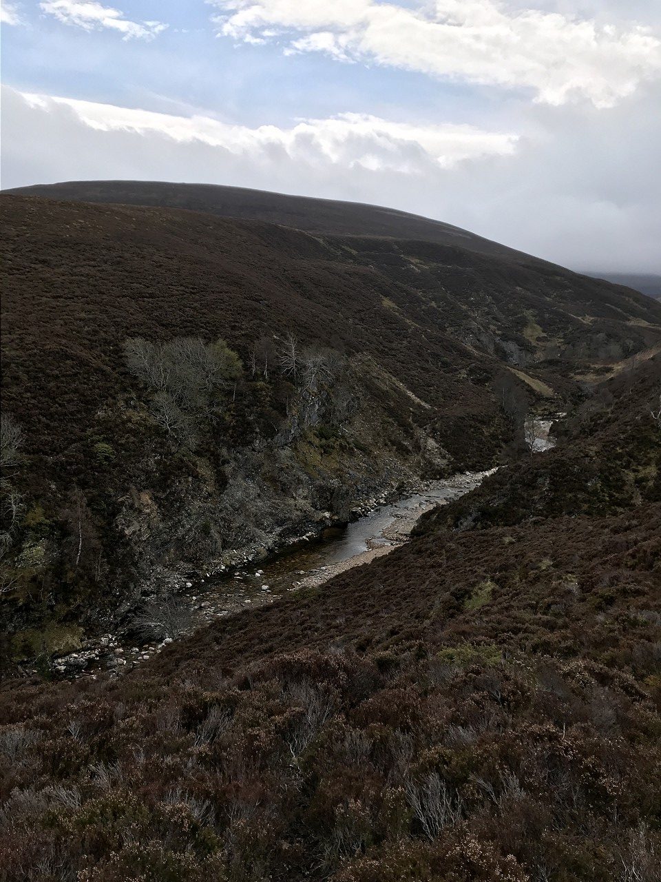
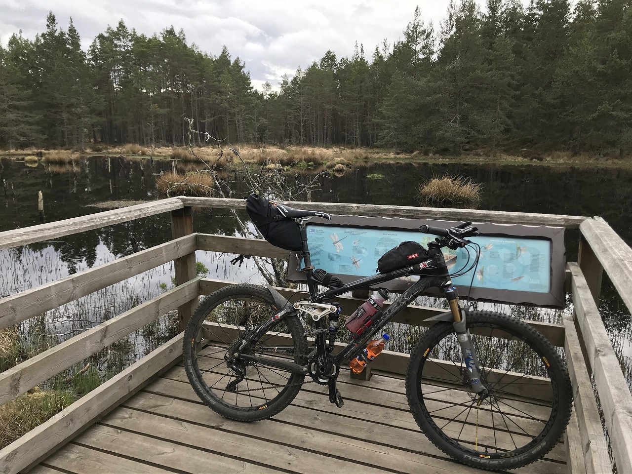
Once down, I relaxed for a wee bit on the rocky beach where the Allt Dearcaige joins the Ailnack and had some lunch in the sun, which had finally made an appearance. Nothing beats time alone in a place that feels so remote, but I still had a long way to go and more heather-bashing to do before I could start making some distance.
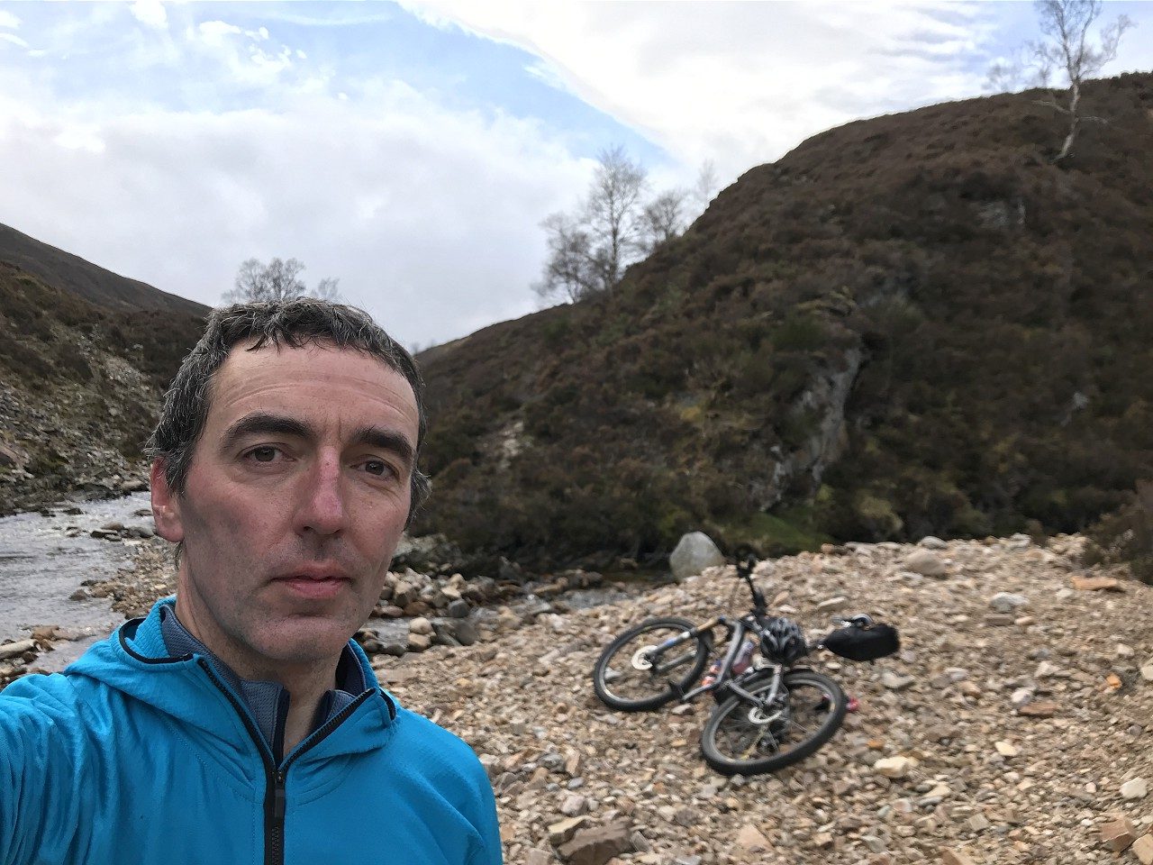
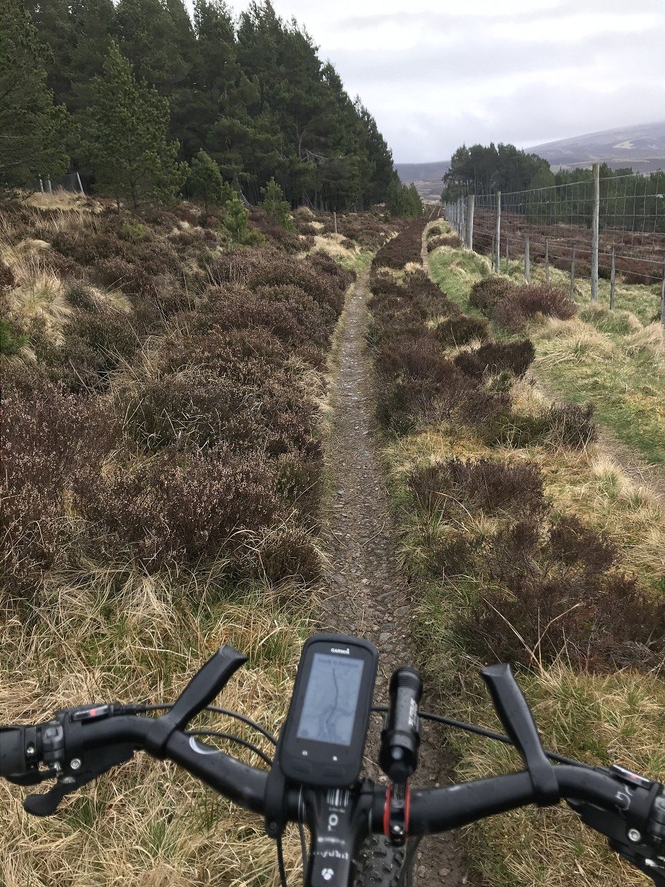
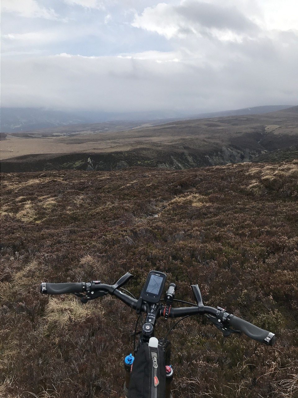
I managed to get across with dry feet and started lugging my way up the opposite side, zig-zagging with any deer tracks I crossed. Once up high, I checked out the track high in the distance on the other side of the glen that I could have also used to reach the spot direct from Dorback Lodge. It looked doable, so I made a mental note to give that a shot sometime and compare! The heather was pretty high over here, so dragging the bike was a bit of a pain, but the going eased as I came over the brow of the hill and some unmapped grouse butts provided a rough path I could use to ride down to the main track towards Dalbheithachan.
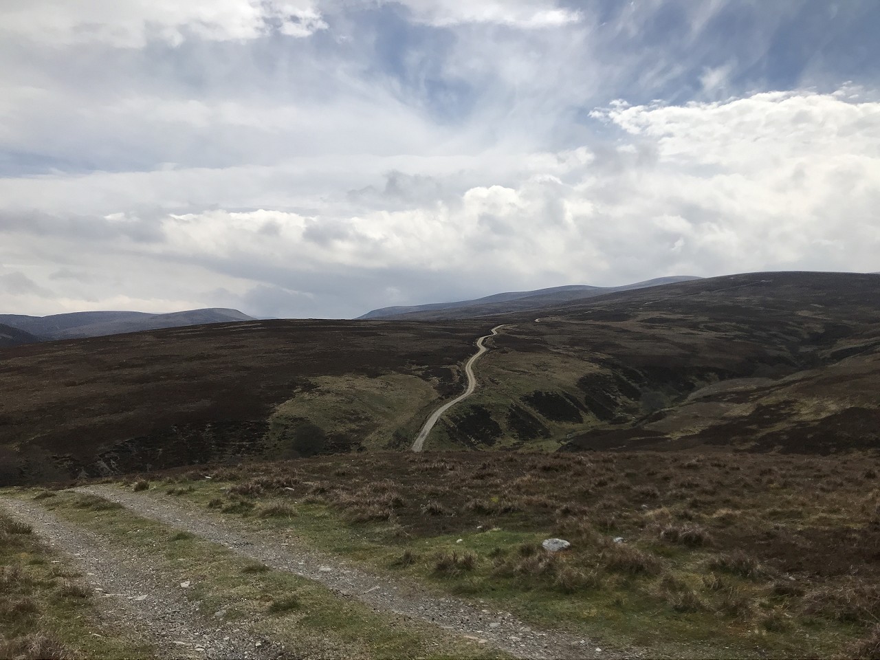
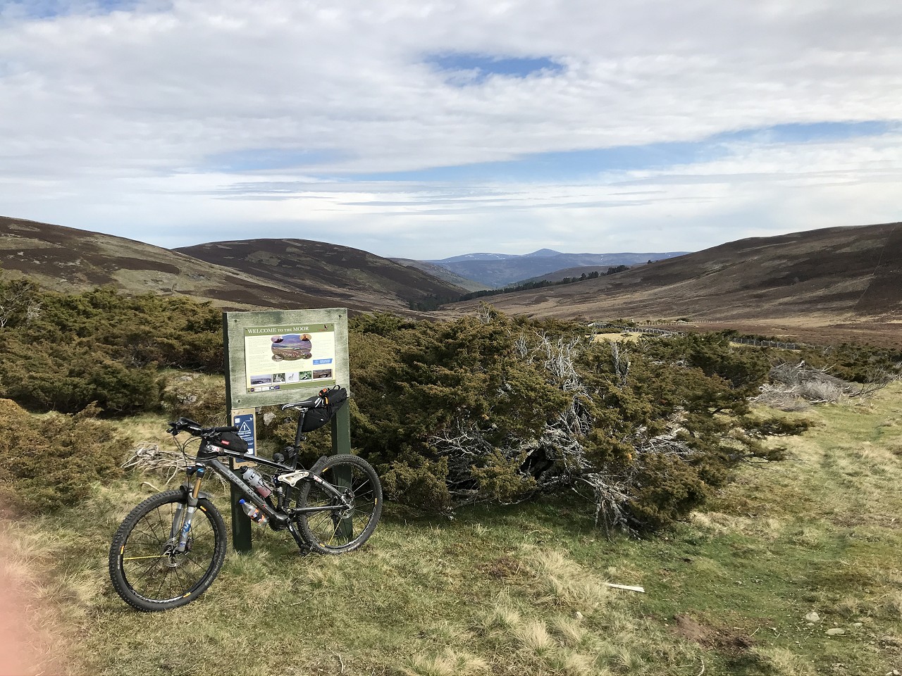
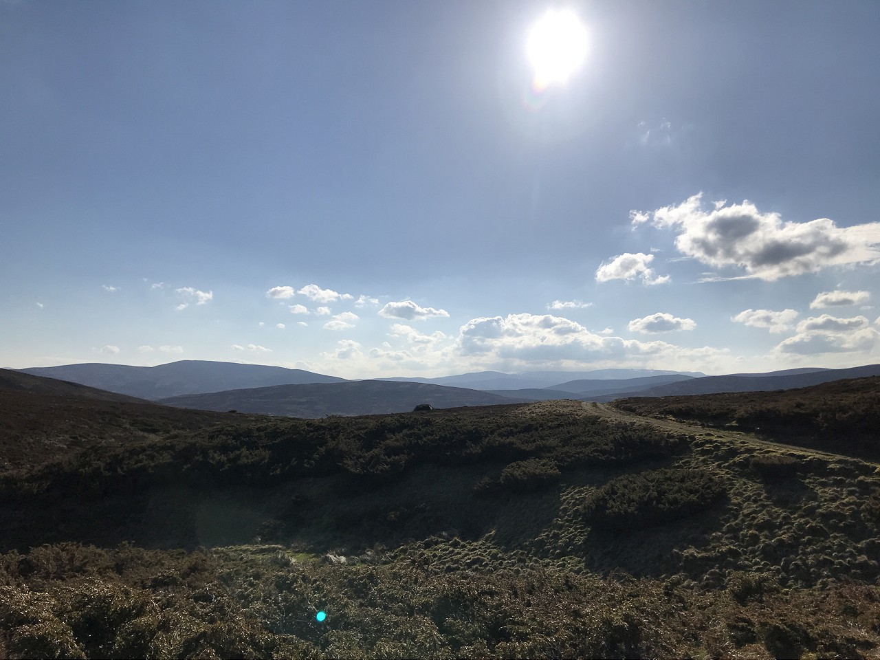
Rather than take the track all the way down to Glen Avon, I took a right at the bottom of a steep descent and started climbing again, straight up Carn an t-Sleibhe. This would get me high up on the ridge above Glen Loin.
I had been thinking about staying high above the glen and dropping down at the far end after going over the tops, but a lack of any marked path for a stretch along the top made me err on the side of caution, as I didn’t want to be getting home too late with work the next day. Once on the shoulder, I took the first steep drop into the glen, with brakes that had been squealing increasingly all day. Despite the incessant headwind, Glen Loin made for easy progress and I saw Ben Avon loom in the distance as I approached its mouth.
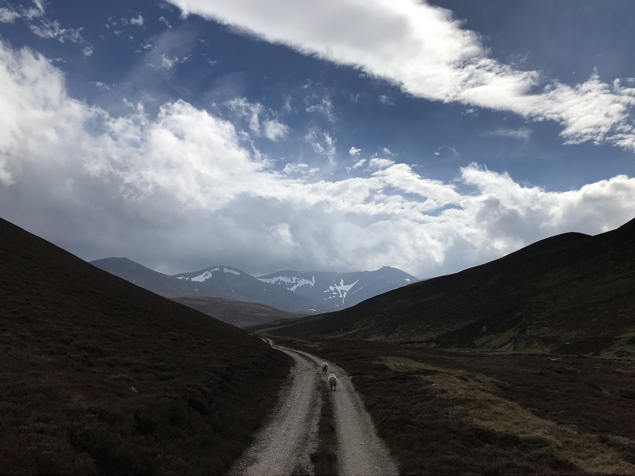
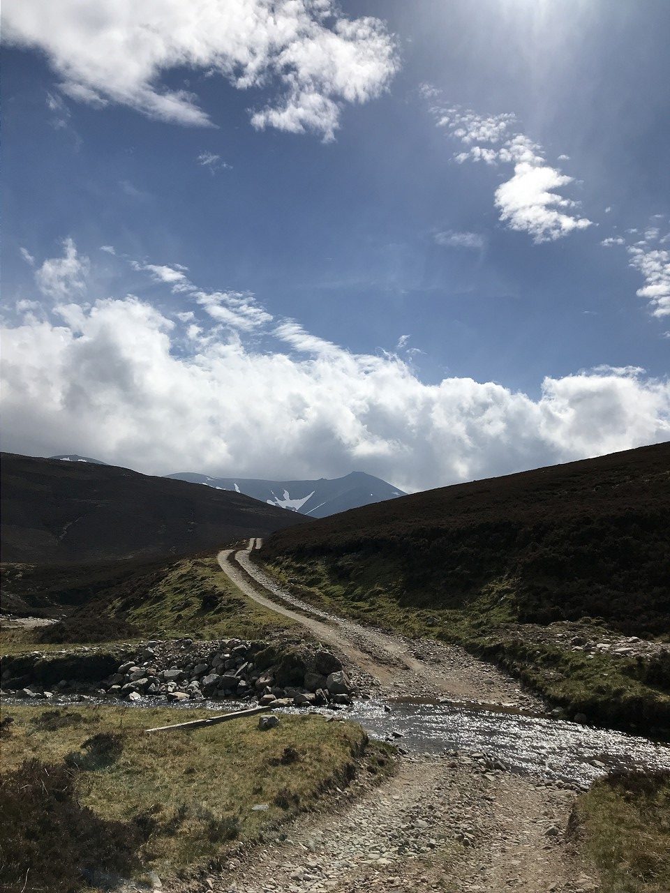
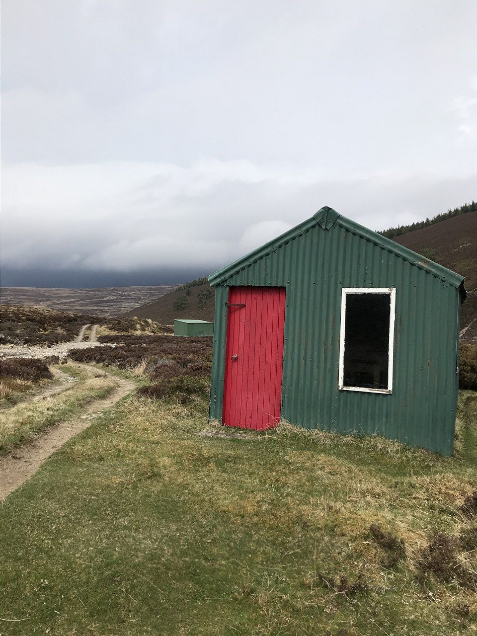
As I emerged into the upper reaches of Glen Avon, the sun was beating down and I saw a tent or two pitched down by the river. It seemed a shame to be rushing through, but I had places to be. I was round the corner and on my way up the steep climb to Donside from Inchrory in no time at all.
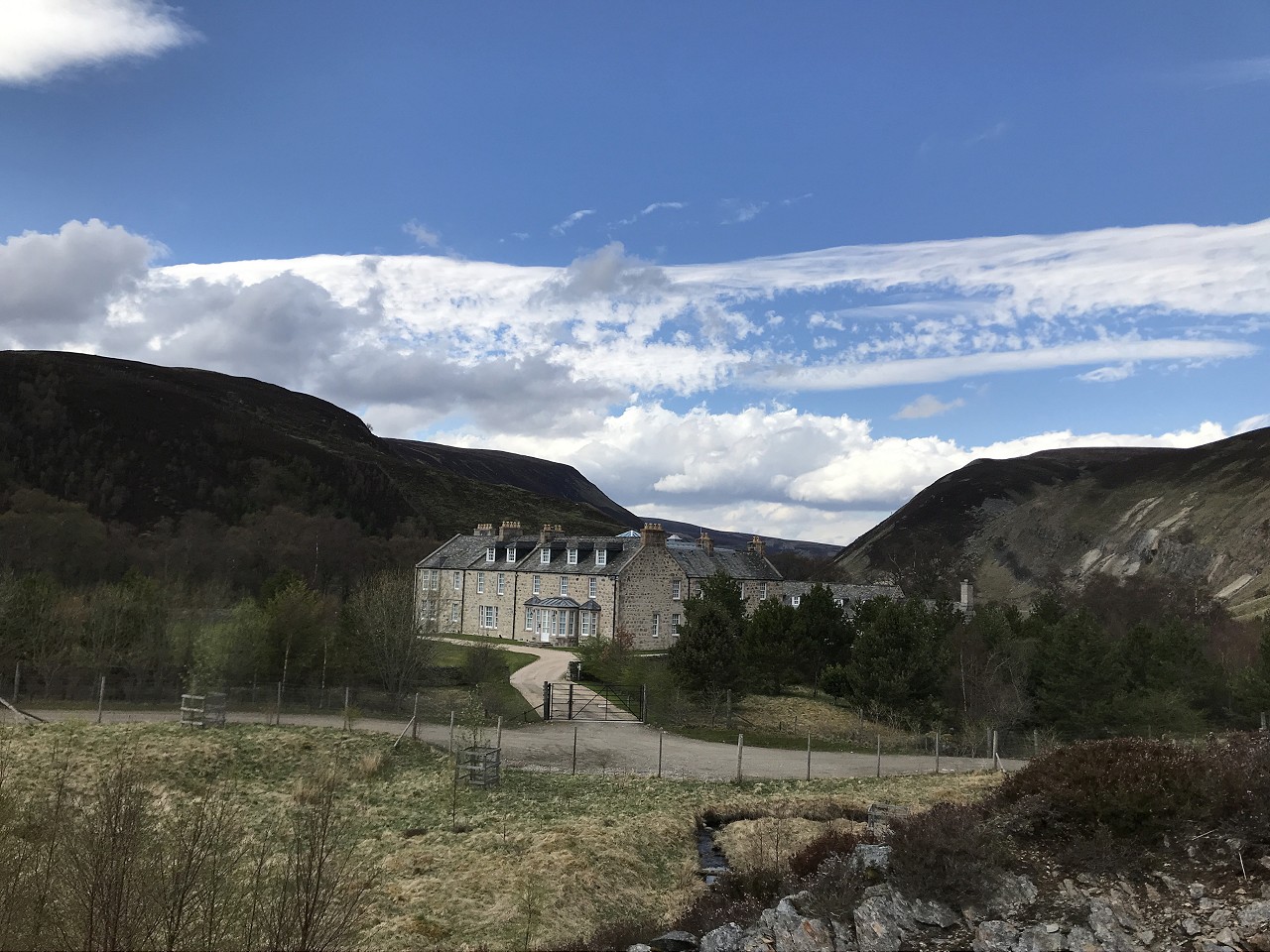
As I made my way along the glen, the track gradually improved and turned to tarmac for the last stretch before Corgarff. I was messing about seeing if I could get into some kind of aero tuck, when I realised my front wheel was varying it’s line quite markedly. I squealed to a halt and took a look – one of the Zircal spokes was rattling round in it’s nipple holder and turning it seemed to have no effect. This looked like something I wasn’t fixing today, so I took it easy to the castle, then turned onto the main road briefly, before bearing right onto the old military road.

As I approached the final climb back to the main road, I caught up with some French motorcyclists on BMWs. In the distance, I’d seen someone walking up the hill towards them and realised it must have been one of the pillion passengers having to lighten the load for a steep section. I had no idea if they were supposed to be there, so just said hello and pressed on.
Climbing up the road seemed quite tiring, but I got a little bit of speed up before my turn off, which would take me across the Moor of Dinnet.
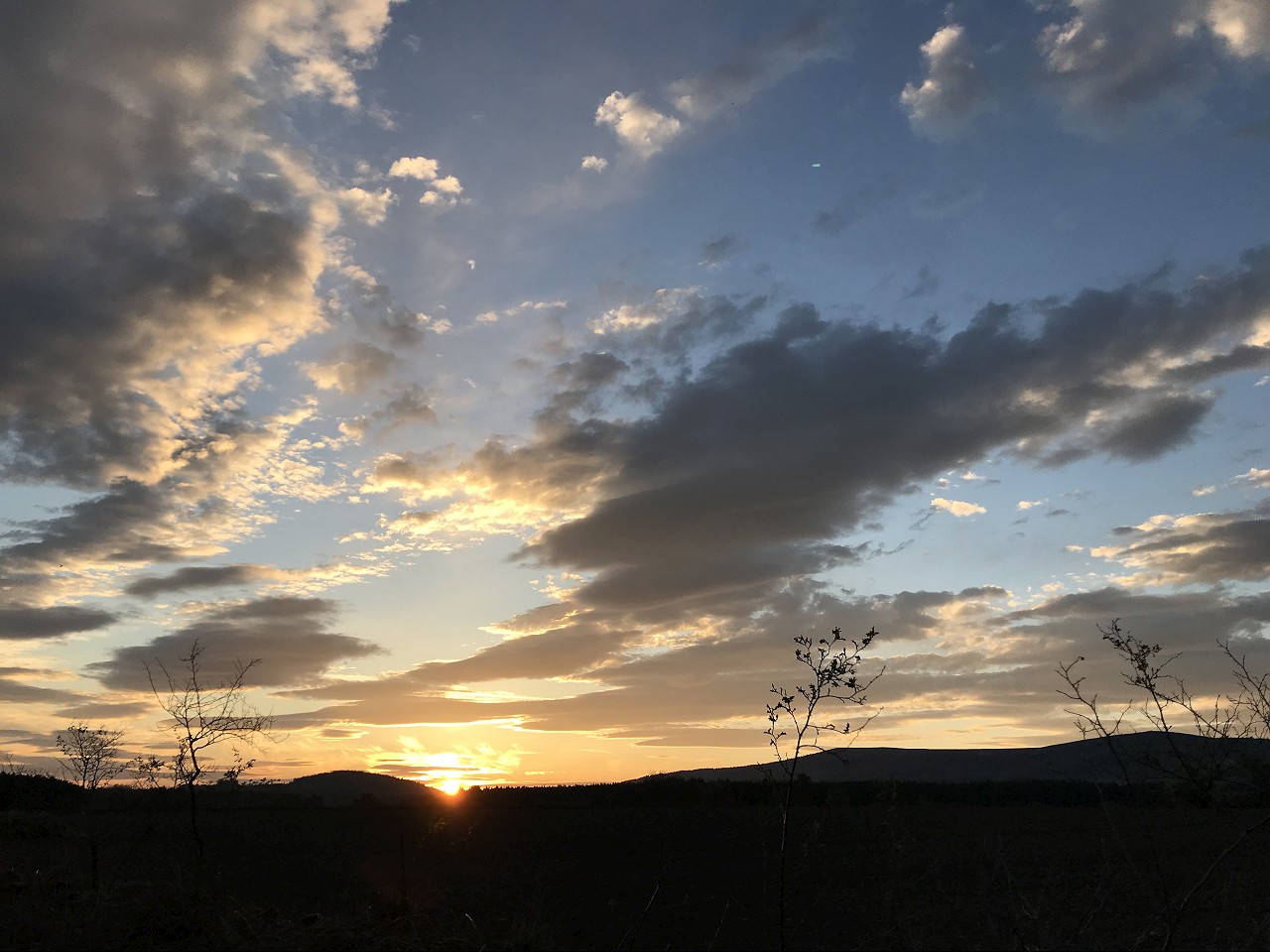
I dropped and climbed from Glen Fenzie, round to Morven Lodge, then crossed the Morven Burn to start heading East by Tom Garchory and Culblean Hill. I topped up my water bottles at a burn on the way and got a good feed in the sun. I’d been stripping off layers since I left the Cairngorms and was down to shorts and t-shirt at 6pm, which reflected the upturn in the weather!
The descent down from Culblean looked fast and loose – unfortunately, I was reduced to nursing my failing front wheel and increasingly squealy brakes down without mishap, so I was relieved for it to flatten out and let me pedal to the road. I had been planning more offroad from here leading to a quick whizz down Tarland Trails, but I thought I wouldn’t push my luck and headed towards Loch Kinord instead, taking a chilled out trail through the forest, by the loch and into Dinnet.
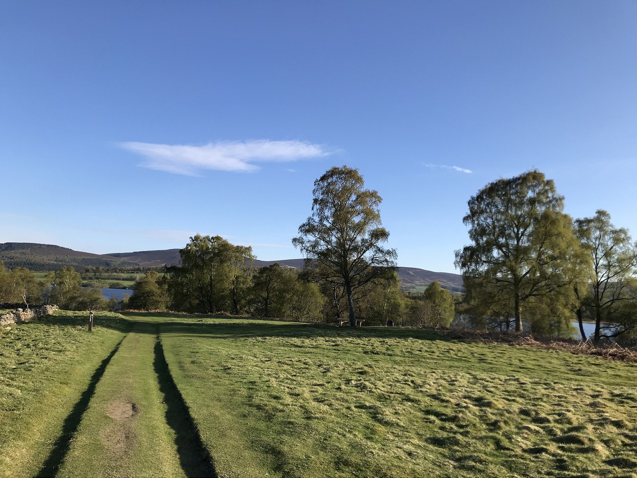
From here I took the easy option and hopped onto the Deeside Way to Aboyne and onwards, with a little diversion to the North of Banchory as I couldn’t be bothered going through Scolty.
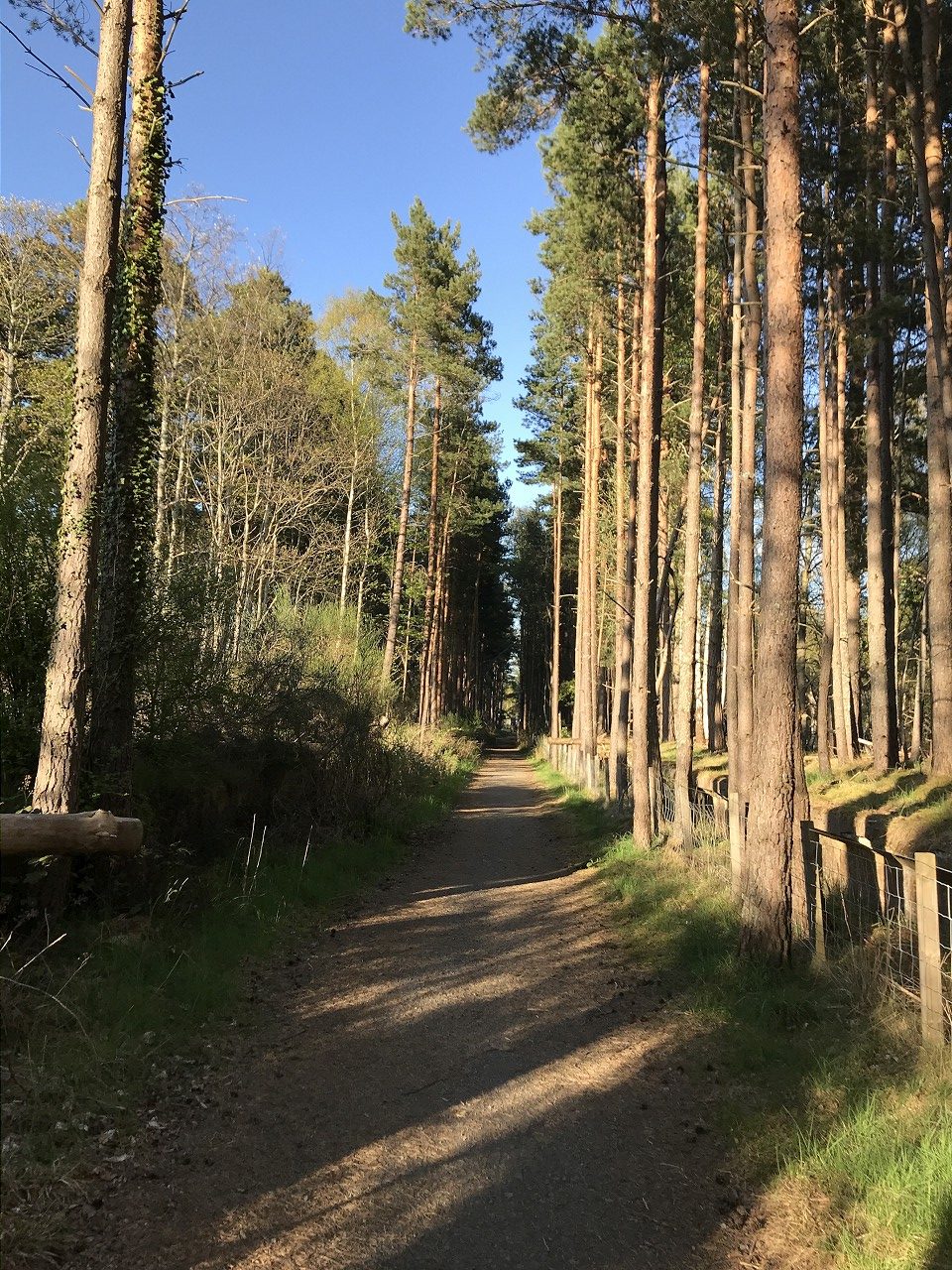
The sun finally dropped behind the horizon enough for me to put on my lights as I came into Peterculter and I blitzed the last section to get home just after 10pm for a good shower and a pizza before passing out on the couch.
WoW! Looks like a very enjoyable adventure!